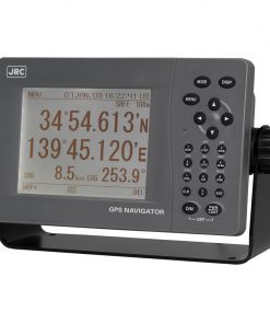
Specifications
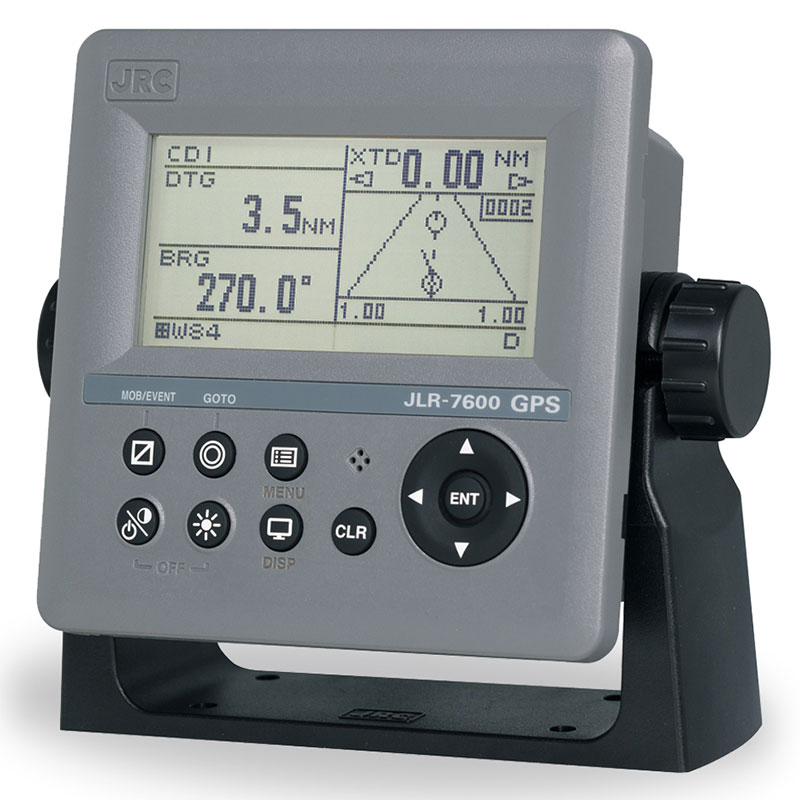
• Display unit: 4.5-inch monochrome (128 by 64dots)
• Backlight: White and orange LED selectable
• Dimmer levels: Bright, medium, dark, off
• Memory: 1,000 waypoins (including MOB/event), 2,000 track points, 20 routes
• Route plan: 50 waypoints per route
• Geodetic datum: Selection among 47 geodetic datum
• Magnetic variation: Autmatic or manual selection
• Navigation calculation: Great circle or rhumb line selectable
• Alarm: Arrival, anchor, XTD, no position fix, speed, trip, HDOP, DGPS
• Plot function scale: 0.125, 0.25, 0.5, 1, 2, 5, 10, 20, 50, 100 NM
Interval 1 sec – 60 min (1 sec) or distance 1 – 99.99 NM (0.01 NM) selectable
• Interfacing: Data/power 12-24V DC, serial 3 in/output (RS-422), contract 1 in/output
Data 1: serial 1 in/output (RS-485) for data/dimmer sharing
Sensor/data 2: serial 1 in/output (sensor) or daisy chain
• Selectable units: Distance/speed: NM/kn, km/km/h, mi/mi/h. Height: m/ft/fm
• Language: English, Japanese, Norwegian, French, German, Italian, Spanish, Vietnamese, Indonesian
• Power supply: 10.8-31.2V DC (optional power supply 100-240V AC), less than 4W
• Sensor type: Multi Channel (12ch), SBAS (1ch)
• Frequency: 1575.42 MHz ± 1 MHz (C/A code)
• SBAS: WAAS, MSAS, EGNOS
• Accuracy: 13m (HDOP 4 SA off), 7m (SBAS) 2dRMS
• Power supply: 10.8-31.2V DC, less than 1.5W
• NMEA version: 1.5, 2.1, 2.3, 4.0
• Bit rate: 4800, 9600, 19200, 38400 bps
• Output sentence: GGA, RMC, GLL, VTG, GSA, GSV, DTM, GBS, GRS, GST, ZDA, GNS, ALR, APB, BOD, BWC, BWR, RMB, XTE, ZDG, AAM, RTE, WPL, ACK
• Output interval: 1, 2, 3, 4, 5, 6, 7, 8, 9 sec, off

