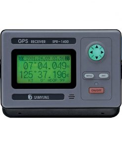
Specifications
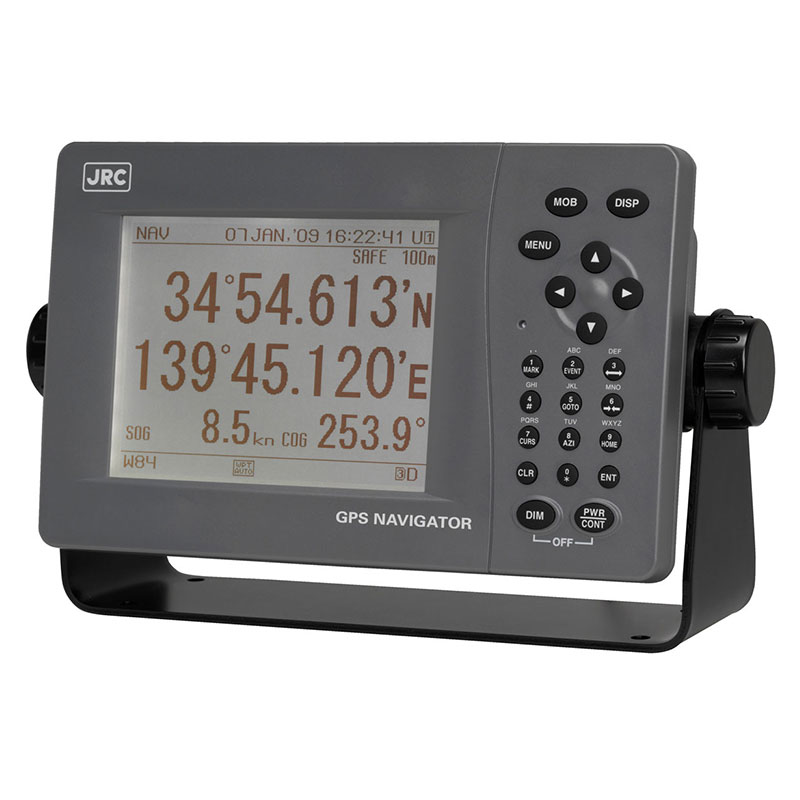
• Display: 5.7-inch white LED-backlit display, 320-by-240 resolution
• Dimmer: 4 stages (bright, middle, dark, off)
• Power: 10.8V to 31.2V DC; Consumption <10 W
• Serial data in/out: Output 4 ch (IEC61162-1), input 1 ch
• Contact signal in/out: Output 2 ch, input 1 ch
• LAN: 10/100 Mpbs (built-in)
• Data backup: Flash ROM (display), SRAM with battery (sensor)
• Waypoints: 10,000 points, event memory 1000 points, WPT name: 16 characters
Input via LAT/LON, bearing/range, event, TD. Route data transfer via LAN and RS-232C
• Track/route: 2000 points, 100 routes with 512 WPT per route
• Plot scale: 0.2, 0.5, 1.2, 5, 10, 20, 50, 100, 200, 300 NM
• Plot interval: 1 up to 60 min (1 sec) or 0.01 to 99.99 NM (0.01 NM)
• Navigation calculation: Select Great Circle and Rhumb line for each leg (total distance up to 99,999 NM)
• Screen mode: LAT/LON, CDI (highway), trackplot, GPS sat. info, enter WPT/route planning, WPT info
• Alarms: Arrival, anchor, boundary, off-course, no position fix, speed, trip, temperature1, depth1, HDOP
• Adjust magnetic variation: Auto or manual
• Geodetic system: 46 systems
• Units: NM/KTS, kM/kPH, mi/miPH, m, ft, fm, °C or °F
• LORAN C/A convert: LAT/LON to TD of LORAN C/A
• Receiver/sensor type: multichannel (12 ch), SBAS (1 ch)
• Frequency: 1575.42 MHz ±1 MHz (C/A code)
• Satellite tracking: Up to 12 satellites
• SBAS: WAAS, MSAS, EGNOS
• Accuracy: 13 m (HDOP <4 SA off), 7 m (SBAS) 2dRMS
• Power(for Antenna): 10.8V to 31.2V DC. Consumption <1.5 W
• NMEA in/out: Selectable NMEA0183 versions: 1.5, 2.1 or 2.3
Input HDT, THS, BDT, DPT, MTW, CUR, VBW, VHW, ACK, WPL, RTE ALR
Output GGA, RMC, GLL, VTG, GSA, GSV, DTM, GBS, GRS, GST, ZDA, GNS, MSS2, ALR, VDR3, VHW3, APB, BOD, BWC, BWR, RMB, XTE, ZTG, AAM, ALR, RTE, WPL, ACK
• Bit rate: 4800, 9600, 19200, 38400. Interval 1, 2, 3, 4, 5, 6, 7, 8, 9 sec and off

